Google Street Map
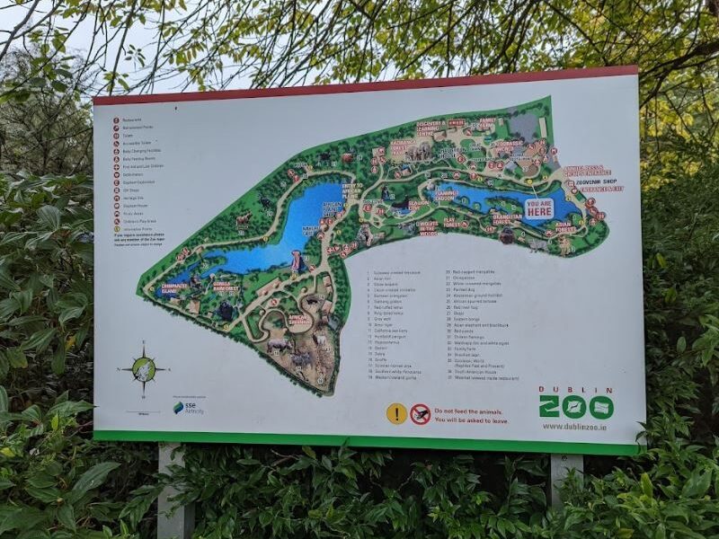
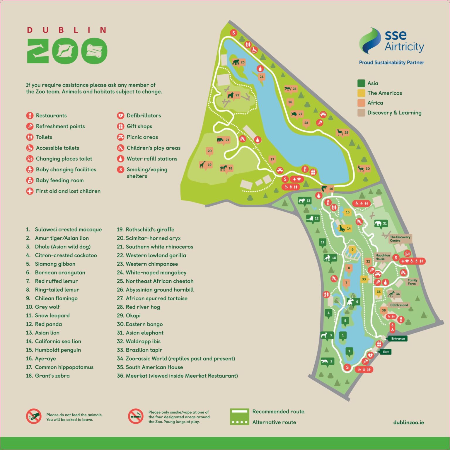
Dublin Zoo’s Google Street Map gives users a ground-level view of the zoo’s entrance and surrounding paths. It offers a real-world glimpse of the area, helping visitors visualise what to expect before arriving. Though it doesn’t cover the full zoo interior, it’s helpful for planning entry and navigating nearby walkways.
Google Satellite Map
Dublin Zoo’s Google Satellite Map offers a detailed aerial view of the zoo within Phoenix Park. Visitors can see enclosures, pathways, and surrounding greenery from above, making it easy to visualise the layout and plan their route before visiting this popular family attraction in the heart of Dublin.
Google Map
Dublin Zoo’s Google Map provides a clear and interactive layout of the zoo’s location in Phoenix Park. It highlights key features such as entrances, walking paths, and nearby amenities. Visitors can use it to plan their visit, find directions, and explore the zoo’s surroundings with ease.