Google Street Map
Dartmoor Zoo is partially visible on Google Street Map, offering a glimpse into the entrance area and nearby surroundings. While the interior animal enclosures aren’t fully mapped, you can still explore the drive leading up to the zoo and its scenic setting near Sparkwell in Devon. The Street Map gives a good idea of the rural location and the zoo’s natural environment. It’s helpful for planning your visit, checking parking areas, and getting a feel for the landscape.
Google Satellite Map
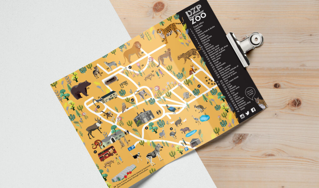
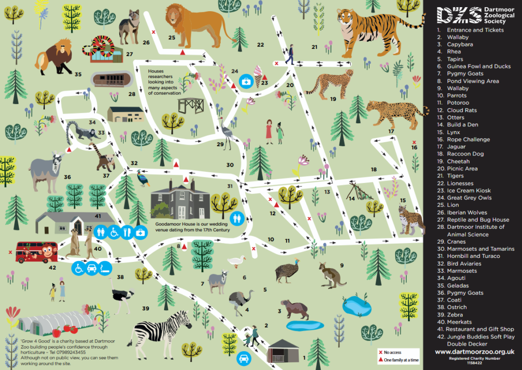
Dartmoor Zoo’s satellite view on Google Maps reveals its 30-acre expanse nestled near Sparkwell, Devon. The imagery showcases the zoo’s layout, including animal enclosures, pathways, and surrounding woodland. Visitors can identify features like the entrance, car park, and various habitats. For detailed navigation, the zoo provides a comprehensive PDF map highlighting exhibits and facilities.
Google Map
Dartmoor Zoo on Google Maps shows its location in the countryside near Sparkwell, Devon. The map highlights key features such as the entrance, car park, and walking paths. Users can get directions, read reviews, and view satellite imagery. It’s a helpful tool for planning your visit and understanding the zoo’s layout before arriving.