Ribblesdale Park Map
Holiday Park Maps Maps

Ribblesdale Park Map

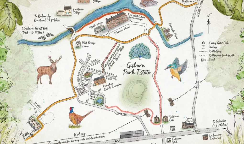
Ribblesdale Park Map offers a detailed overview of the holiday park, helping visitors easily navigate the site. It clearly marks key areas such as accommodation zones with lodges and caravans, the reception, and parking facilities. Essential amenities like the on-site restaurant, swimming pool, and children’s play areas are highlighted for convenience. The map also indicates important safety features, including fire points, fire beaters, and emergency assembly areas.

For waste management, locations of rubbish bins, chemical toilet disposal points, and dog waste bins are shown. Paths and green spaces are outlined to guide guests through the scenic surroundings. Overall, the Ribblesdale Park Map is an essential tool for visitors, ensuring a smooth and enjoyable stay by helping them find facilities and navigate the park easily.


Ribblesdale Park Google Map

The Google Map provides an interactive and convenient way to explore the holiday park’s layout. It allows visitors to view the park’s location, nearby roads, and surroundings with ease. Users can switch between satellite and map views to get a clearer sense of the terrain and facilities. The map highlights key points like the reception, parking areas, and accommodation spots. It also helps with navigation to and from the park, making trip planning simple and efficient for guests.