
Navigate Ludlow Touring Park with Google Maps
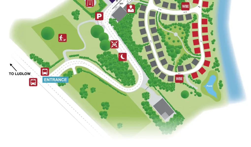
Use the buttons below the map to toggle between Satellite View to see the spacious 20-acre estate and its proximity to the winding River Teme, or Standard Map for a clear view of the circular pitch layouts and site access roads. You can also use Street View around the park entrance and the B4361 to get familiar with the Shropshire countryside before you arrive, making it easier to find your way to the reception shop, the luxury amenity blocks, or the scenic walking path that leads toward the historic Ludlow town center.