Google Street Map
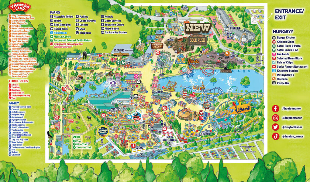
Exploring Drayton Manor on Google Street View offers a virtual glimpse into the park’s pathways and some of its exterior areas. While not a traditional park map, it allows you to navigate the entrances, some walkways, and visualize the surroundings of key attractions before your visit. You can virtually “walk” around parts of Thomas Land and see the facades of some rides. However, Street View won’t provide the detailed layout of all the rides, facilities, and pathways you’d find on a dedicated park map. For detailed navigation within the park, the Drayton Manor map, remains the most comprehensive guide.
Google Satellite Map
A Google Satellite Map of Drayton Manor provides an aerial view of the entire park and its surroundings. From this perspective, you can clearly see the overall layout, including the positioning of major rides like Shockwave and Stormforce 10, as well as the extent of Thomas Land and the Drayton Manor Zoo. While it doesn’t offer the intricate details of pathways and amenities found on the official park map, the satellite view helps visualize the scale of the park, the proximity of different zones, and the amount of open space. It’s useful for getting a general sense of the park’s geography before planning your route with a more detailed map. You can also identify car parks and the location of the Drayton Manor Hotel.