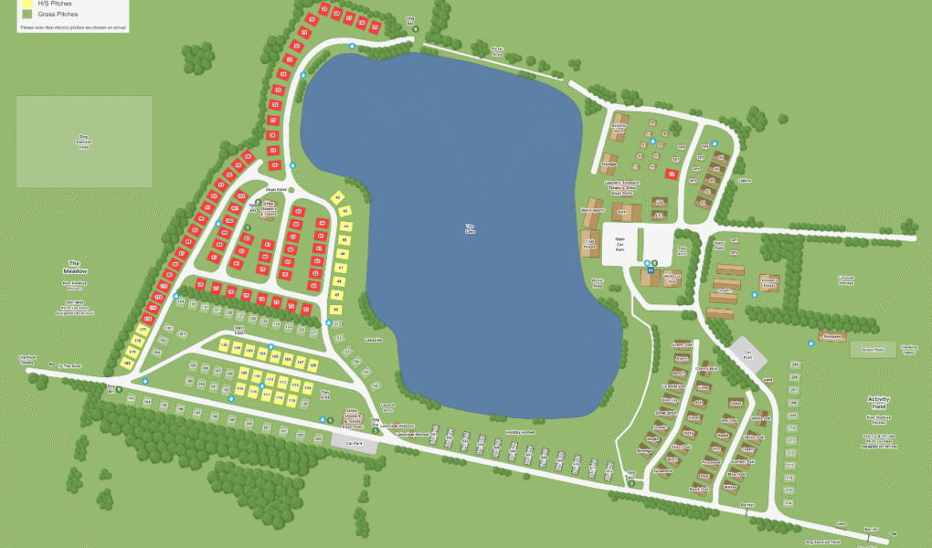
Croft Farm Water Park Map
Holiday Park Maps Maps

Croft Farm Water Park Map

Croft Farm Water Park provides a detailed map to help guests navigate its extensive grounds. The park offers diverse pitching options, including sought-after seasonal pitches for extended stays from March to October, providing convenience and community. Visitors can choose between H/S (hardstanding) pitches and grass pitches, catering to various caravan, motorhome, and tent setups, with most offering electric hook-ups.

Amenities are well-provided, including modern, clean shower and toilet blocks, dishwashing sinks, and designated dog bins. For recreation, there’s a picnic area and a dedicated dog exercise field, ensuring furry friends can stretch their legs. Beyond touring, Croft Farm features a range of holiday homes, from chalets to luxury lakeside lodges, some with private hot tubs, offering comfortable accommodation for those seeking a static base amidst the waterside activities.


Google Map

Croft Farm Water Park on Google Maps offers three useful views: satellite, standard map, and street view. The satellite view shows a detailed aerial image of the water park, highlighting its natural lakes and surrounding greenery. The standard map view provides clear roads, pitches, and facilities layout for easy navigation. Street view allows visitors to virtually explore the entrance and nearby areas, helping plan their visit in advance. Together, these views give a complete understanding of Croft Farm Water Park’s location and amenities.