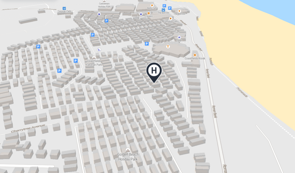
Coastfields Holiday Village Map
Holiday Park Maps Maps

Coastfields Holiday Village Map

πŸ–οΈ Exploring Coastfields Holiday Village

The Coastfields Holiday Village map is your essential visual guide to this vibrant destination in Ingoldmells, Lincolnshire. It provides a clear layout to help you easily locate your accommodation from comfortable static caravans to modern lodges, ensuring a stress free start to your holiday.

Facilities and Entertainment: The map highlights the Aqua Lounge, the heart of the village featuring the indoor pool, bar, and restaurant. You will also find the large showbar clearly marked as the primary venue for live acts and evening entertainment.

Resort Amenities: Use the plan to easily find your way to the amusement arcade, outdoor children’s play zones, and the on site supermarket. Everything you need for a seamless and fun filled seaside stay is just a glance away.

Verified Map
Current Version:

πŸ—ΊοΈ Interactive Map Location

The Coastfields Holiday Village interactive map offers three distinct perspectives to help you explore. Use the standard normal view to scan clear street layouts, highways, and structural outlines easily. Switch over to the high resolution satellite view to examine detailed real world terrain, lush green spaces, and actual building footprints from above. Finally, activate the immersive street view mode to experience a realistic ground level perspective, allowing you to virtually walk around and view the surroundings firsthand.