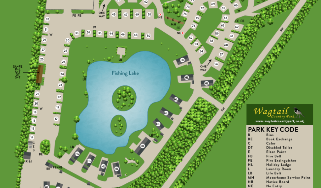
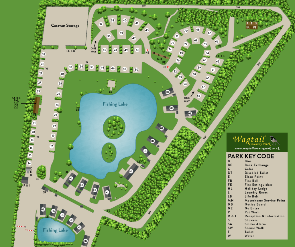
The Wagtail Country Park Site Map highlights a tranquil 25-acre sanctuary nestled in the heart of the Lincolnshire countryside. The layout is centered around two main areas: the established original site and the newer Kingfisher lake development. The map showcases over 60 spacious, all-weather hardstanding pitches, many of which are strategically positioned to offer direct views over the water. These “super pitches” are thoughtfully screened with native shrubs and hedgerows to ensure a sense of privacy while maintaining the park’s open, airy feel.
As the site plan illustrates, the park is a premier destination for anglers, featuring three well-stocked fishing lakes (one exclusive to lodge owners and two available for touring guests). The map clearly indicates the location of two luxury, centrally heated utility blocks—one featuring individual wet rooms—alongside the Wagtail Inn, the park’s own dog-friendly bar. For pet owners, the map traces a dedicated wildlife walk around the entire perimeter of the park, providing a safe and scenic route for morning strolls where guests often spot deer, hares, and the park’s namesake birds.