Royal Umpire Caravan Park Map
Holiday Park Maps Maps

Royal Umpire Caravan Park Map

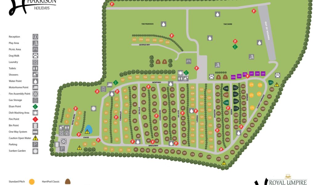
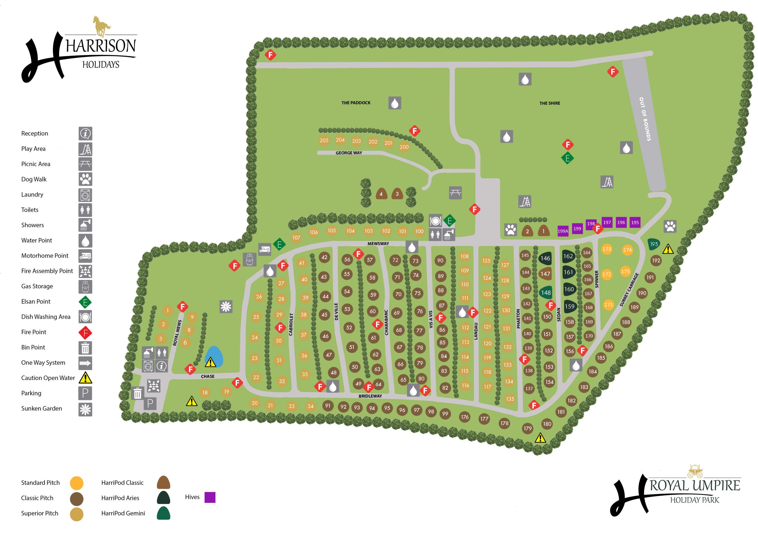
The Royal Umpire Caravan Park Map introduces guests to a grand 60-acre estate that balances traditional countryside charm with modern touring facilities. Located in the heart of Lancashire, the park features a well-organized layout with a variety of spacious all-weather pitches, including premium serviced options. The map highlights the site’s distinct zones, which are separated by mature trees and landscaped green spaces, creating a relaxed environment for both families and couples seeking a peaceful retreat near the village of Croston.

Navigating through the site plan, visitors will find the centrally located, heated amenity block, which provides high-specification facilities for all touring guests. The map also emphasizes the park’s leisure offerings, such as the children’s play area, the dedicated football pitch, and the expansive open meadows perfect for dog walking and outdoor recreation. Beyond the park gates, the map serves as a starting point for exploring the local area, showing the easy access routes to nearby coastal resorts like Southport and the historic charm of the local Lancashire villages.

✓ Latest Map Current Version:

Navigate Royal Umpire Caravan Park with Google Maps

Use the buttons below the map to toggle between Satellite View to see the massive 60-acre landscaped grounds and open meadows, or Standard Map for a clear view of the internal road loops and pitch locations. You can also use Street View at the park entrance on Southport Road to get familiar with the Lancashire countryside approach before you arrive, making it easier to find your way to the main reception, the heated amenity blocks, or the scenic walking paths leading toward the charming village of Croston.